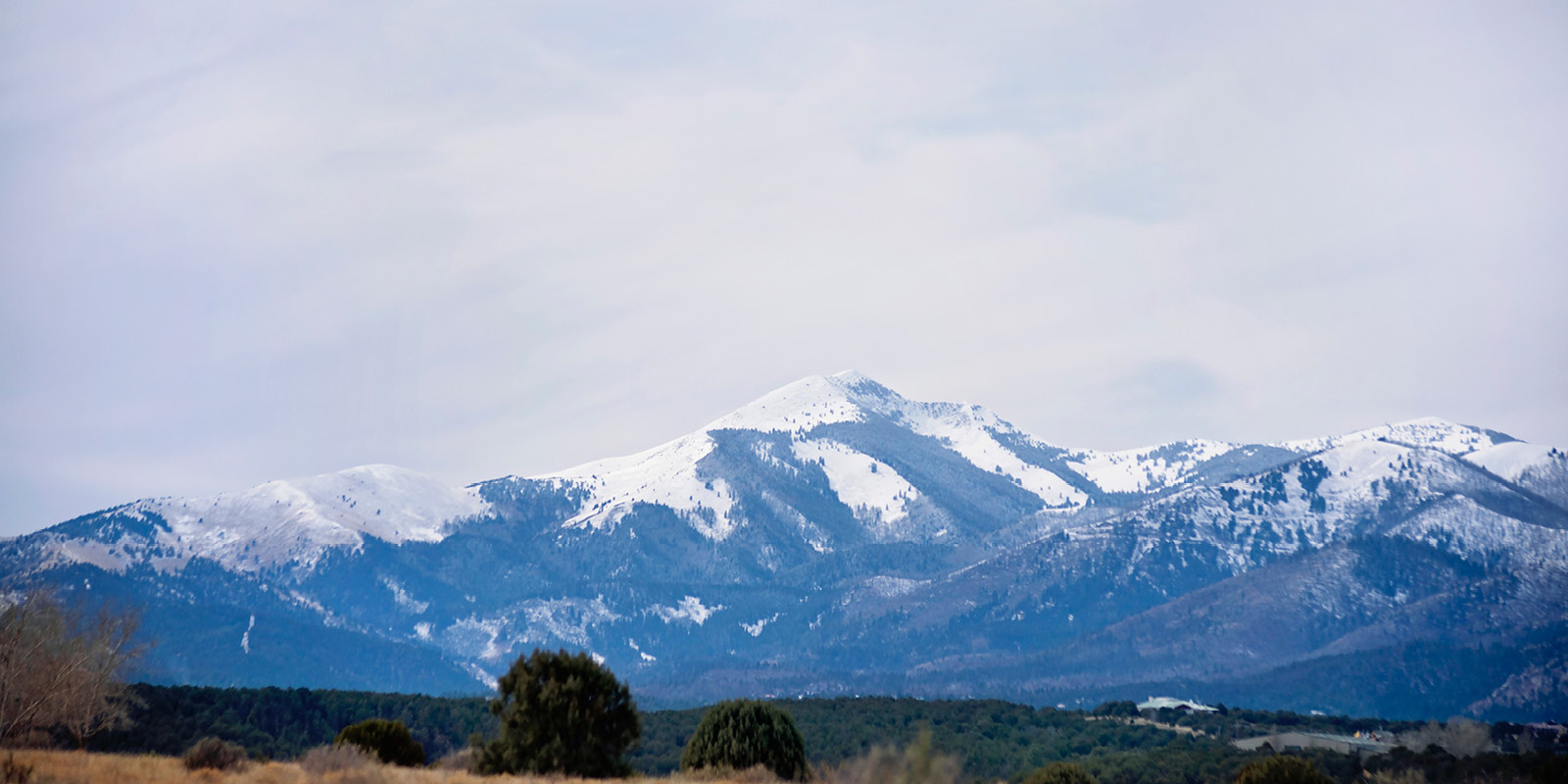


The best source of information you can find on the White Mountain Wilderness Area is the topographic map sold by the United States Forest Service on Mechem Drive (Hwy 48) in Ruidoso. You can order copies of the map by calling 575-257-4095. The map gives a three-dimensional view of the landscape allowing you to predetermine distances and elevation gains, estimated hiking times, locate potential water sources, and many other useful things. If you have an interest in the outdoors and do not have any experience with those squiggly-lined maps, it's time to give it a try. The concepts are basic and the rest is learned through repetitive use.
Determine the hiking distance by measuring the trace of the trail on the map using the scale shown. Beware not to underestimate the true hiking distance on switchbacks. After measuring the horizontal distance, measure the elevation gains by identifying all stretches of the trail that are uphill. The easiest scenario is just following a canyon up to the top and then retracing the route back down. The elevation gain is simply determined by subtracting the elevation of the lowest contour from the elevation of the highest contour. Where numerous up-and-down stretches of trail are present, count all the contour lines the trail crosses while moving uphill and then multiply the answer by the contour interval printed next to the scale.
I have long used a simple formula to estimate my hiking time for all hikes I take. I plan on allowing 1/2 hour for every horizontal mile measured from the map, and then I add an hour for every 1,000 feet of elevation gain. For example, a hike that is six miles long and gains 1,000 feet in elevation would take approximately 4 hours to hike at a leisurely pace. Determine your own pace and plan accordingly. Many factors will dictate hiking times, so allow for extra time. In other words, don't leave on what you think will be a four-hour hike four hours before dark. Not much room for error.
The most important planning aspect is determining what items to carry with you for the day. Everyone should carry a day pack with minimal gear that will ensure your survival from the elements should you be forced to spend an unplanned night in the forest. Ninety percent of the items I typically carry I never use. But I've never been forced to spend an unplanned night out either. I carry the items hoping I will never need them. It's easy to get carried away and soon you will need an army rucksack just to fit your 50 pounds of camping equipment in. Think survival here, not comfort.
During the summer months, I typically hike in thin warmups and a cotton, long sleeve shirt. Cotton is worn to keep cool, not warm. Get caught overnight, even in the summer, and this clothing will be grossly inadequate. Carry some type of synthetic long johns to wear against your skin and a light jacket. Most importantly, carry one of those little aluminum-foil looking emergency sleeping bags or blankets. A full-size nylon or PVC poncho is a necessity as rain gear and can provide an emergency shelter if needed. Fire-starter sticks, a small first-aid kit, a compass, and a small flashlight with extra batteries should also be included. Carry more water than you believe you will need and some extra food and you could stop pretty much anywhere and be able to survive a night and it will all fit in a day pack.
Surviving a night brings up another important topic, leaving an itinerary of where you are going and when you plan to return. This itinerary is especially important if you are hiking alone. Otherwise, no one will probably even be looking for you for a couple of days and even then, will anyone know where to look? Wilderness travel along maintained trails is safe if you will use common sense and avoid potential problems. I truly believe that on any given day I go hiking, my chances of being injured are far greater on the drive to and from the trailhead than during the hike itself.
Wet rocks and logs are by far the biggest dangers to the hiker. Crossing streams by rock-hopping is the biggest mistake any hiker can make. Any rock that looks remotely damp is usually covered with a slime that is slicker than ice. I've seen some fabulous gymnastic feats accomplished in this manner although points were usually always deducted as landing on your back in a rocky stream bed does not qualify as "sticking the landing". Look for spots to cross where the stream bed is mostly gravel.
Clothing choices are another mistake many hikers make. I see so many people decked out in their khaki shorts, t-shirt, cotton socks and a pair of ultralight hiking boots who look like they should be on a promotional poster for the Swiss Tourism Bureau. The problem is they will encounter obstacles such as stinging nettle, briars and branches on many of the trails which are now overgrown with vegetation. Not to mention what the sun and wind exposure can do. Warmups, a thin long-sleeve shirt and a wide-brimmed hat have protected me over the years from the elements as well as things that sting. stick and scratch. Sure there are times and places where shorts would be nice, but the prolific stinging nettle present in this area is reason enough to avoid them.
Copious amounts of dew in the summer and early fall, not to mention rainfall, make waterproof boots practically a requirement. Wear synthetic or wool socks and your feet will be forever grateful. Avoid cotton socks for hiking and most of your potential foot problems will disappear.